Reveal Technology and Teal Drones demonstrate multi-drone mapping to US military
- Posted On
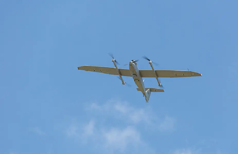
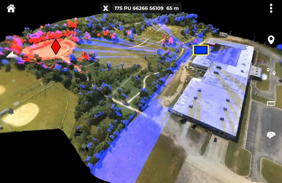
Military tactical teams’ ability to quickly produce accurate maps of areas targeted for military operations can mean the difference between mission success or failure. Meeting this need, Reveal Technology has teamed with Teal Drones – a division of Red Cat Holdings – to enhance Reveal’s “Farsight” mapping software by automatically combining imagery from multiple unmanned aerial systems (UAS) to produce high-fidelity 3D maps. By dramatically increasing the speed of collection, users receive Farsight maps and analytics faster than ever. The groundbreaking technology was recently successfully demonstrated to U.S. Army Special Operations Command near Fort Bragg.